Saturday 11 / April / 2026
Thiruvananthapuram: Even as Oman prepares to tackle the effects of Tropical Cyclone Kyarr, another weather formation is gathering momentum as it gains strength in the waters off India.
The low-pressure formation — which was named Maha by Oman from a list of names provided by countries in the Indian Ocean region — began in the Bay of Bengal, before coming to the Arabian Sea, after which it is expected turn around and head back to India.
Maha will be the fourth cyclone formed in the Arabian Sea this year after Vayu, Hikaa and Kyarr, and will likely follow the same path as the latter.
According to private weather forecaster Skymet, Maha will not directly impact India. However, before forming into a cyclone, heavy to torrential rainfall may be seen over Indian states of Tamil Nadu, Kerala, parts of Karnataka, and with the Lakshadweep Islands. Wind speeds will be strong to very strong along the Tamil Nadu, Kerala and Karnataka coastline, along with waves that are expected to be at least 15 feet high.
Usually, the number of cyclones formed in the Bay of Bengal is more, as compared to the Arabian Sea. This year, however, the situation is different and the Arabian Sea has already had three cyclones form in its waters. The fourth is touted to form very soon. The reason for increased cyclone formation in the Arabian Sea can be attributed to the positive Indian Ocean Dipole (IOD).
In fact, this IOD is the strongest in the history of record-keeping with which warmer sea surface temperatures aid in the formation of cyclones. When asked whether a cyclone could be formed within such a short gap in the same area, Jason Nicholls, lead meteorologist from Accu Weather, told Times of Oman that it was indeed possible.
“There were two cyclones formed back to back in the Arabian Sea back in 2015,” he said. “Chapala pushed into Yemen on 3 and 4 November, Megh formed on 5 November and crossed the Socotra Island before pushing into Yemen around the 10th.”
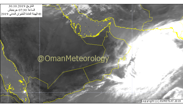
Meanwhile, American aeronautical agency NASA reported that Kyarr is weakening. “Kyarr is moving west and is forecast to start weakening within 24 hours. The storm is then forecast to turn to the west-southwest while slowly weakening as it approaches the Gulf of Aden,” reported the National Aeronautical and Space Administration.
The US Army and Navy’s Joint Typhoon Warning Centre has also reported that Kyarr’s destructive wind field will evade land for the time being, though waves on the open ocean could top 50 or 60 feet.
“The system will pass north of Yemen-owned Socotra before meandering into the Gulf of Aden,” said the Centre. “Its then rapidly-decaying remnants will thread the needle between Somalia and Yemen but could throw a bit of moisture to the ordinarily water-starved landscape to the north.