Sunday 07 / December / 2025
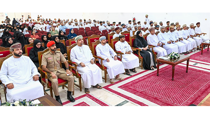
Salalah: The University of Technology and Applied Sciences (UTAS) in Salalah celebrated the World Geographic Information Systems (GIS) Day on Tuesday, affirming its commitment to supporting modern spatial technologies and enhancing their role in achieving sustainable development and national future visions.
The event aims to highlight the growing importance of GIS technology in scientific research, decision-making, and solving engineering, environmental, and economic problems. It also provides a platform for communication and the exchange of expertise among academics, students, and representatives of leading government and private institutions in this field, thereby contributing to showcasing the latest applications and projects and activating the University's community role.
The event targeted school students to introduce them to the fundamentals and future of GIS technology and encourage them to enroll in promising technical and spatial specialisations.
The event’s programme included a number of working papers addressing topics in the fields of water network management, spatial artificial intelligence (AI), and the integration of geographic location data from multiple sources to produce accurate 1:5000 scale maps in the Sultanate of Oman. Additionally, presentations covered the role of GIS in improving the performance of Dhofar Municipality services and projects, spatial geo-intelligence in the national addressing system, exploring the power of location through the (ArcGIS Pro) platform, and sustainable cities for humanity.
The ceremony also featured an exhibition with several participating government, private, and educational institutions, showcasing their applications of GIS use to achieve the objectives of Oman Vision 2040, alongside interactive competitions and the honoring of participants and sponsors.