Tuesday 28 / July / 2026
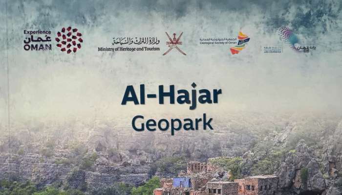
Muscat: The Ministry of Heritage and Tourism has issued the Al Hajar Geopark booklet in both Arabic and English. This comes within the framework of its efforts to introduce the pioneering national project that embodies the Sultanate of Oman's commitment to preserving geological heritage, enhancing sustainable ecotourism, and promoting the natural elements it abounds with at both the local and international levels.
Al Hajar Geopark project marks the inaugural step for geopark registration projects in the Sultanate of Oman. It reflects the role played by the Ministry of Heritage and Tourism in preparing the requirements for establishing national geoparks and working to register them among the UNESCO Global Geoparks.
Through two main chapters, the booklet addresses the fundamental pillars of the project and its developmental impacts. The first chapter reviews the economic and cultural dimensions of the Al Hajar Geopark, its role in supporting sustainable tourism, highlighting the geological and natural heritage, and empowering local communities by creating economic and tourism opportunities based on the investment of natural and cultural elements.
The second chapter reviews 20 tourism products within the scope of the Al Hajar Geopark, which were selected for their unique geological, natural, and cultural elements. This contributes to enriching the visitor's experience and enhancing the geopark's status as an integrated tourism and cultural destination.
Furthermore, the Ministry issued the English version of the Al Hajar Geopark map, which illustrates the locations of tourism products and attractions within the scope of the geopark. The park extends across the northern Sultanate of Oman through the Al Hajar mountain ranges, encompassing three governorates: A’Dakhiliyah, South Al Batinah, and North A’Sharqiyah. It also includes eleven wilayats: Nizwa, Samail, Bidbid, Izki, Al Hamra, Al Jabal Al Akhdar, A’Rustaq, Al Awabi, Nakhal, Wadi Al Maawil, and Al Mudhaibi.